|
|
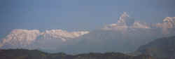
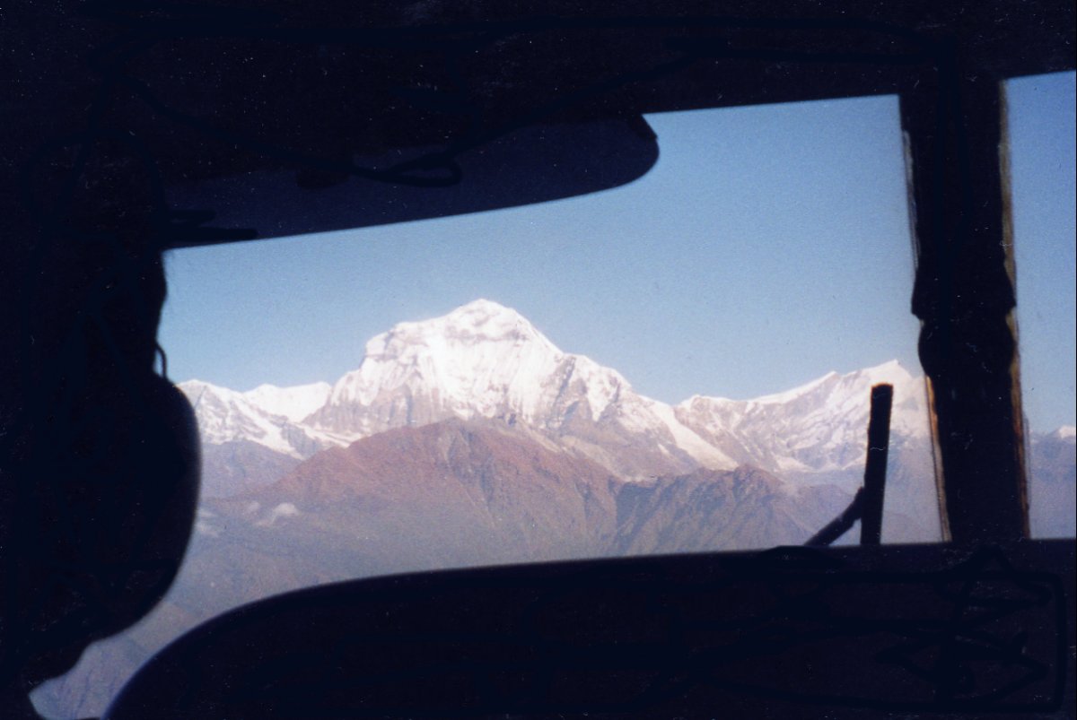
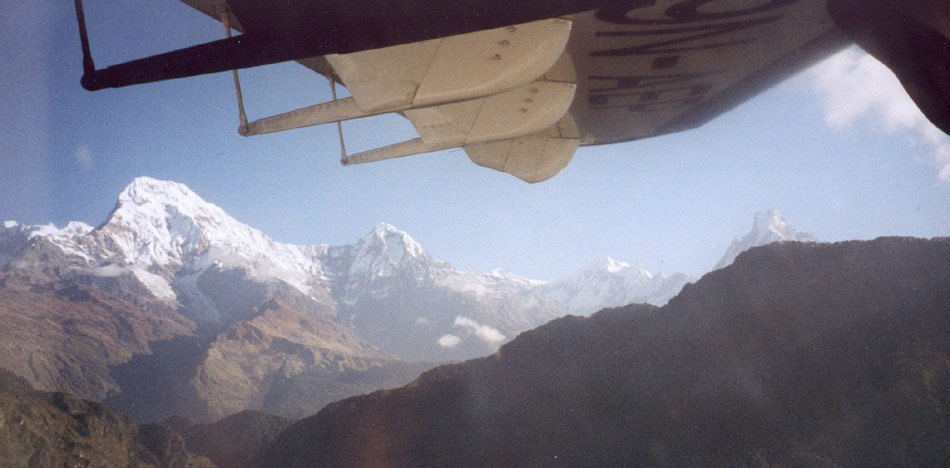
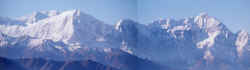
Annapurna range with Machapuchare from the airplane.
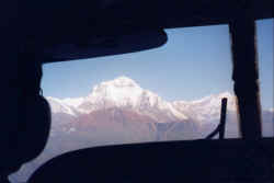
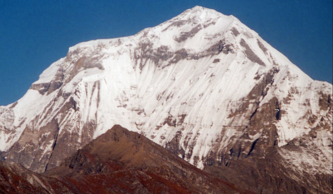
After some minutes Dhaulagiri appears.
The 8'000 meter peak dominates the range to the west, several routes lead up
on the steep south face to the summit 8'167 meter.
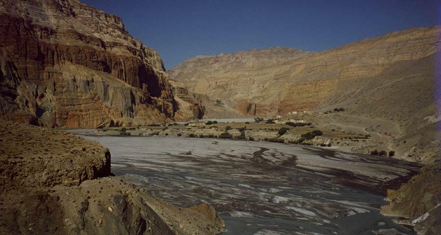
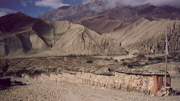
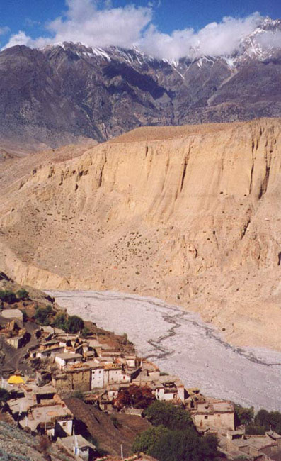
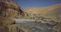
We land in Jomosom, three hours later we approach the village Kagbeni, it
protects the entrance to Mustang. In earlier times as a trade post, these days
as a police check post that checks the trekking permits.
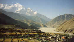
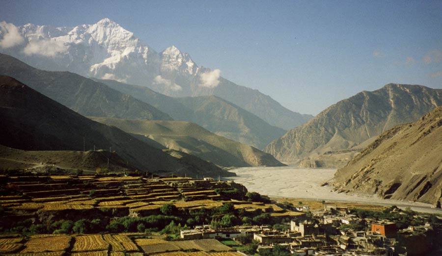
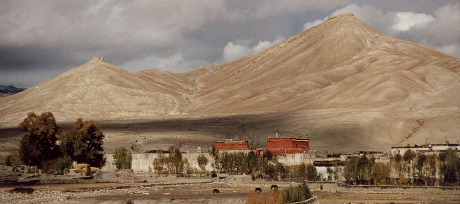
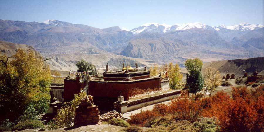
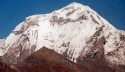
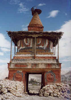
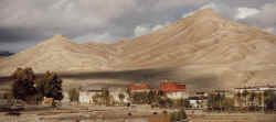
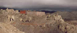
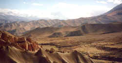
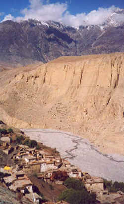
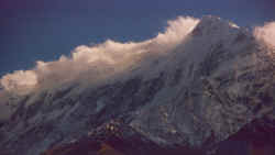
Overlooking Kagbeni and its red gompa, the north face of Nilgiri serves as a
barricade against monsoon clouds - Mustang is one of the few destinations which
lies in the rainshadow and makes trekking possible in summer months.
|
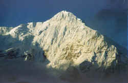
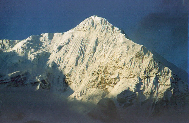
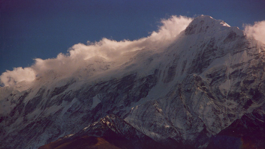
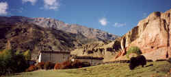
While the valley still lies in the shade, the first sunrays hit the vertical
north face of Nilgiri.
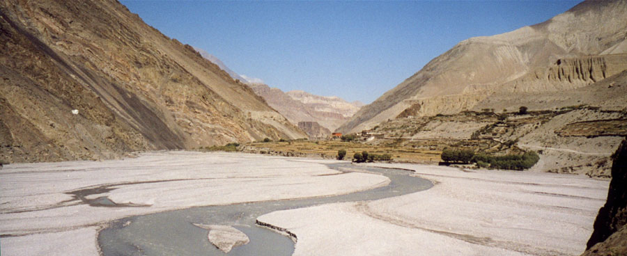
Walking in the riverbed would be fast, but looking for ammonites takes so time.
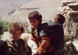
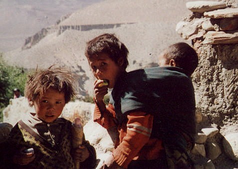
Curious children in Tangbe make waiting for lunch bearable.
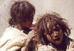
Kids in Tangbe.
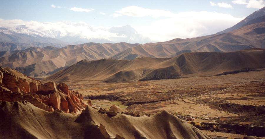
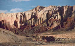
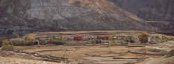
Chukang village lies on a fertile piece of land in a riverbend, facing the steep
organ-piped canyon.
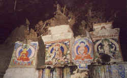
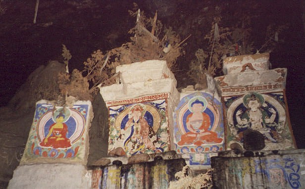
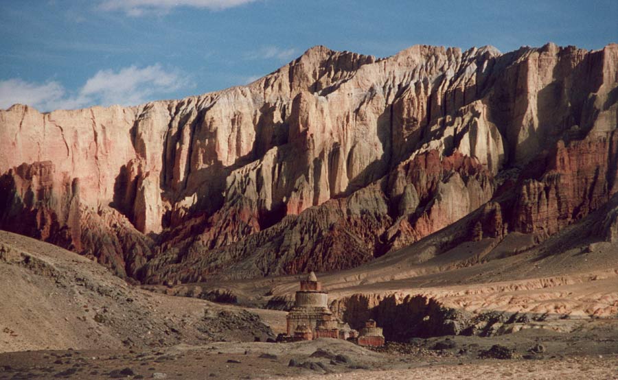
Off-the trail exploration of Rangchung Chörten, a cave monastery near Samar.
The fantastic climb into the gorge takes requires some effort, but it is worth
it.
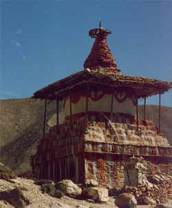
Chorten above Geling on the way to Gemi: outstanding yet at the same time
blending in with its surroundings - this can be said of all architecture in
Mustang.
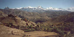
Nyi La, what a view.
Our crew, Sirdar Bharat at the top left, kitchen crew in foreground, sherpas in
the middle and the toughest porters on the right.
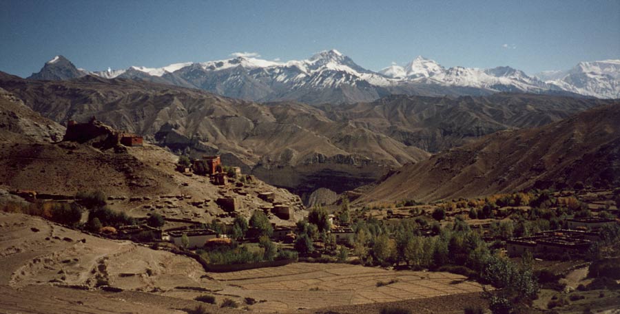
View from Gemi La, far down are the green fields of the village, to the right is
the long mani wall which we will pass tomorrow on the way to Tsarang.
|
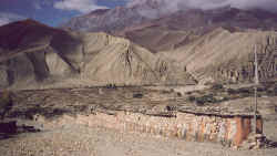
Long mani wall on the way to Tsarang.
Chorten in front of the canyon before the pass.
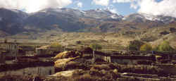
The entrance to Tsarang, the old fort has not been used for a long time and its
walls are crumbling down, nevertheless it contains a nice library, some old
statues, and even the cut-off hand with many interesting gruesome stories
attached to it.
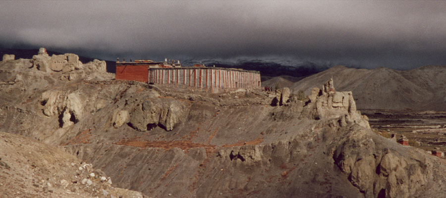
The monastery is in a sad state, the place does not attract monks anymore.
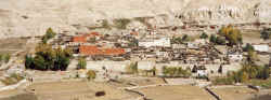
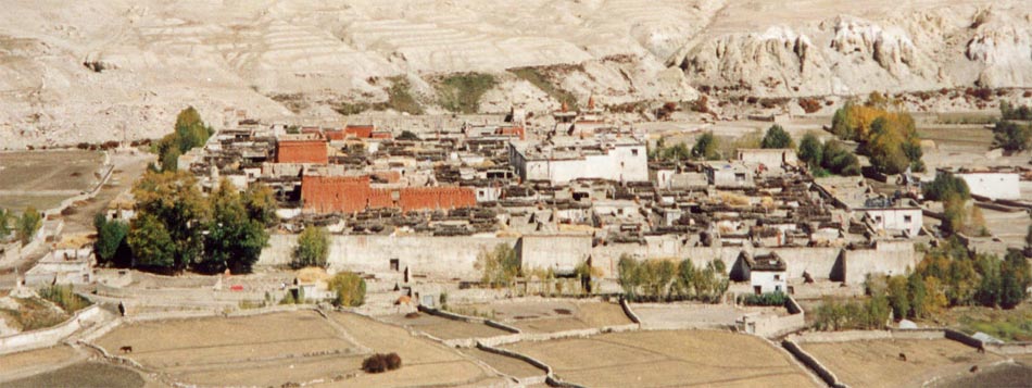
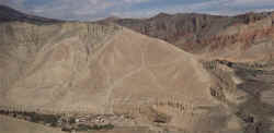
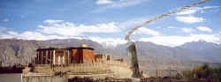
Lo Manthang, walled capital of the kingdom.Only the three monasteries and the
king's palace are higher than the wall that surrounds the houses and narrow
alleys.

The entrance into the city
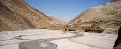
Oasis in a moutain desert..
On top of the hills surrounding the city, the ancient forts of petty rulers are
stil visible.
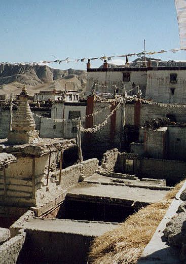
View over the roofs where firewood for the long winter is kept.
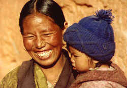
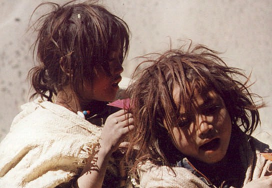
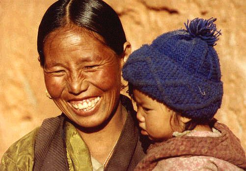
Mother and her child in Lo Manthang
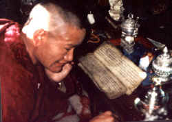
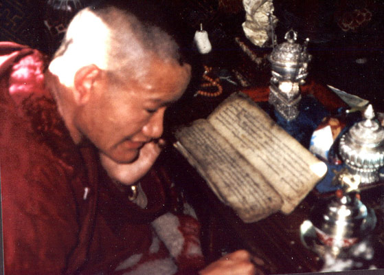
The amchi (Tibetan doctor) reading from a Tibetan text from the peh-jah.
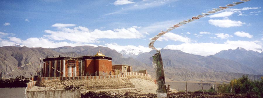
Namgyal monastery overlooking the plain.
|
Leaving Lo Manthang behind.
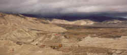
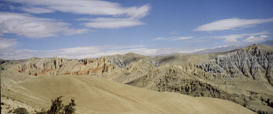
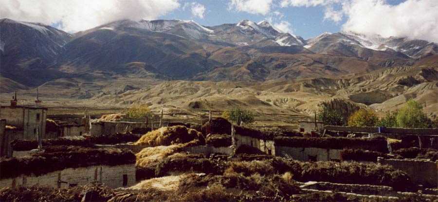
The 'Plains of Prayer' are a stretch of fertile land surrounded by barren rocks
Lo Gekar, Place of Virtue is a beautiful monastery surrounded by yellow
trees and red bushes.
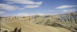
Rock formations above the village Tangmar.
Yak grazing near Tamar.
Gelung in one of few villages that is not built like a fortress, the room of
protector deities overlooks the village is is worth a short detour.
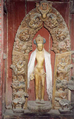
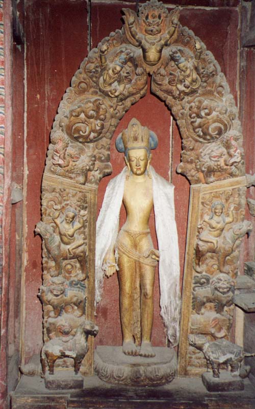
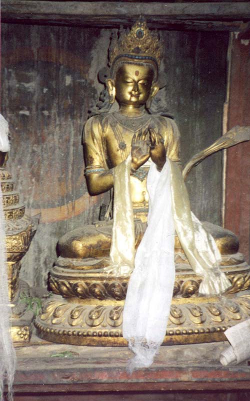
Old wooden statue somewhere in Mustang..
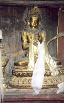
Old statue somewhere in Mustang..
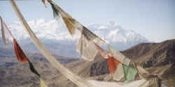
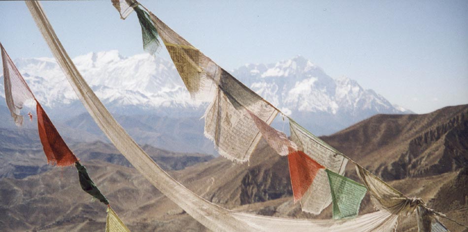
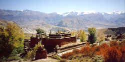
Prayerflags in front of Annapurna I, Tilicho and Nilgiri
|
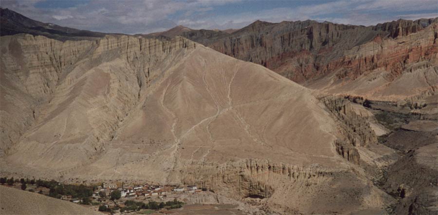
Chorten at the entrance of Tetang, the village itself lies
further up on a little plateau.

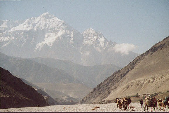
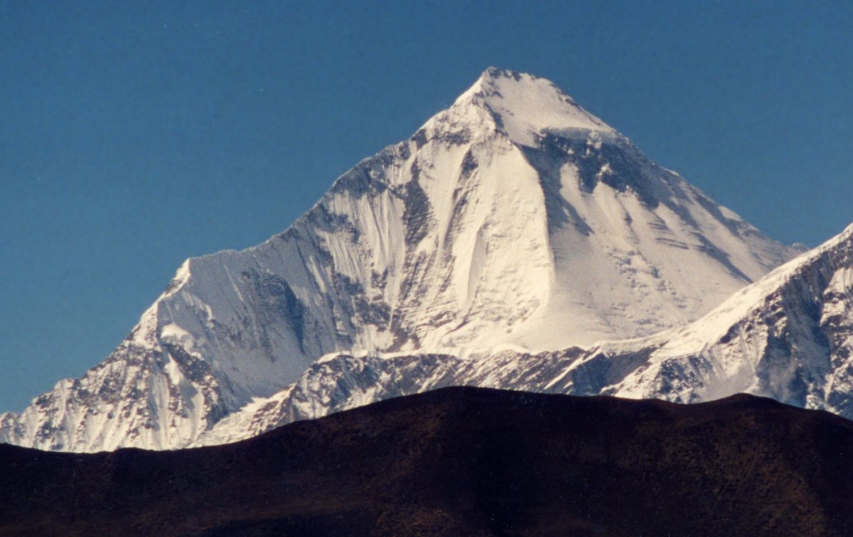
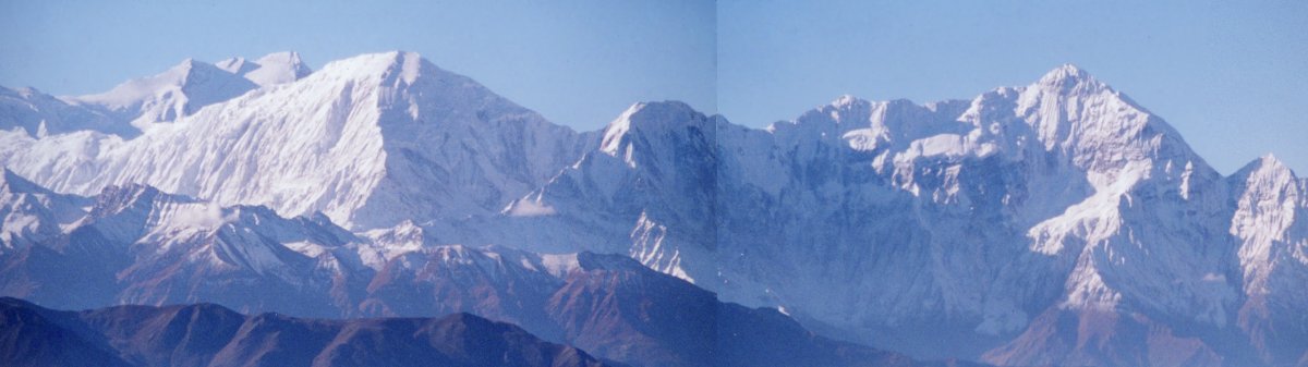
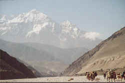
Dhaulagiri from the pass between Tetang and Muktinath
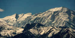
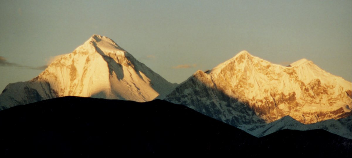
The summit of Annapurna I in the left is the highest point of the Annapurna
range, but the steep ice flanks of Tilicho are not any less impressive.

The early catches the worm, getting up early is often rewarded in the Himalayas.
Detour to Lubra is worth it, the mountain views and friendly people are great.
Stunning Annapurna range, a view that opened up unexpectedly while walking
from Muktinath to Lubra. Finding the way was difficult, we didn't meet anyone
while on the main route along the Kali Gandaki dozens of tourists and Indian
pilgrims were on their way to or from the holy site of Muktinath.
Nilgiri in the morning, just before flying back to Pokhara.
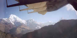
Annapurna Fang (though I am not sure) and Machapuchare are getting smaller while
the green terraces become more numerous.
|
|