MyHimalayasimpressions from |
|
|||||||
Lhasa to Kathmandu
Travelling in Tibet can be both wonderful and depressing at the
same time.
The people I met were outstanding in their friendliness and
generosity, their culture is captivating and the scenery is
breathtaking.
But it is under threat. The presence of the Chinese occupiers is
felt everywhere, yet hordes of ignorant foreigners are so busy
taking pictures that they do not realize what is going on. Of course
tourism itself is a threat to other cultures.
I decided not to publish my diary and only some pictures.
Please bear in mind that even though these photos might look
nice, they only reflect the surface as seen by a tourist and not the
harsh reality of everyday life!
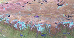 Three
dimensional map of the overland route from Lhasa to Kathmandu. Three
dimensional map of the overland route from Lhasa to Kathmandu.
|
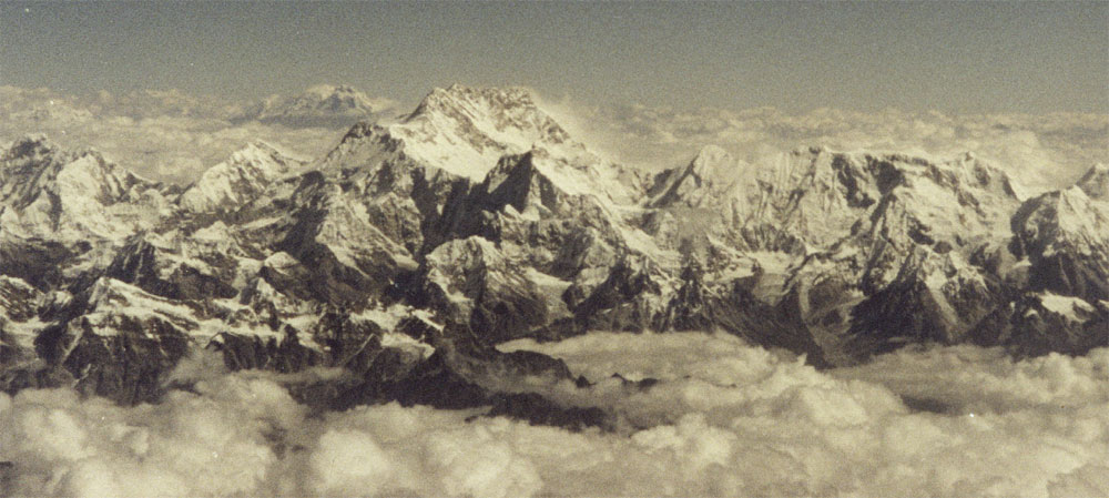 Flight
from Kathmandu to Lhasa. Kangchenjunga,
3rd hightest peak on earth that forms the border between Nepal
and Sikkim. Flight
from Kathmandu to Lhasa. Kangchenjunga,
3rd hightest peak on earth that forms the border between Nepal
and Sikkim. |
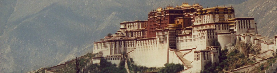
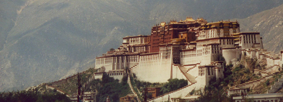
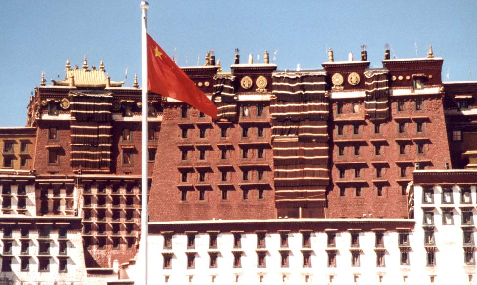 Chinese
flag in front of Potala,
seat of the Tibetan government (which is now in exile in Dharamsala /
India). Chinese
flag in front of Potala,
seat of the Tibetan government (which is now in exile in Dharamsala /
India). |
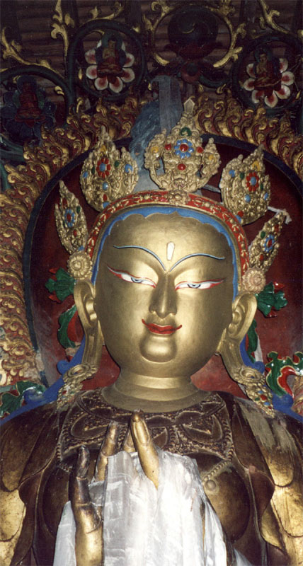
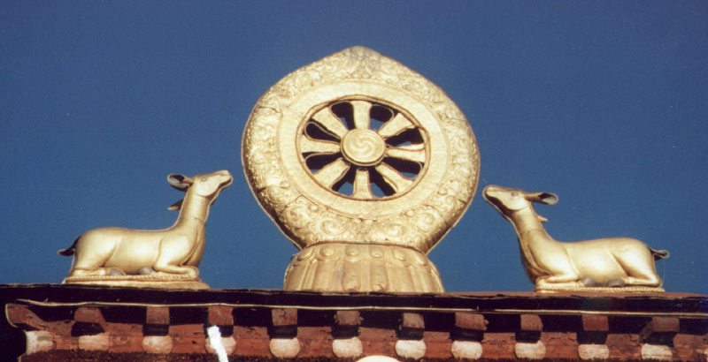 Roof
of Jokhang, the most revered monastery in Tibet. Pilgrims come
from far away to see the statue of Jowo Rinpoche. Roof
of Jokhang, the most revered monastery in Tibet. Pilgrims come
from far away to see the statue of Jowo Rinpoche. |
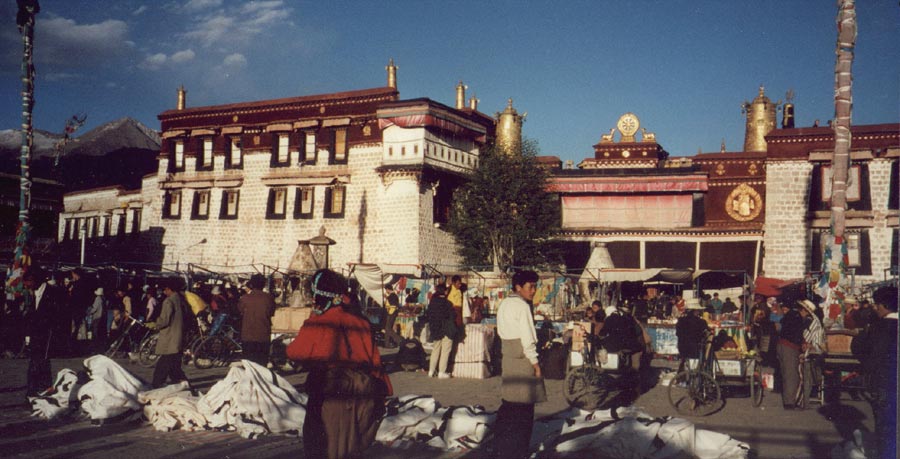 Barkhor,
area around the Jokhang is the only part of Lhasa that does
not look like any other Chinese city in mainland China. Barkhor,
area around the Jokhang is the only part of Lhasa that does
not look like any other Chinese city in mainland China. |
 Potala
seen from the roof of Jokhang. Potala
seen from the roof of Jokhang. |
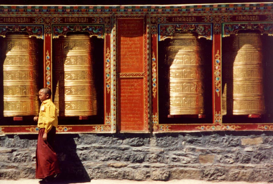
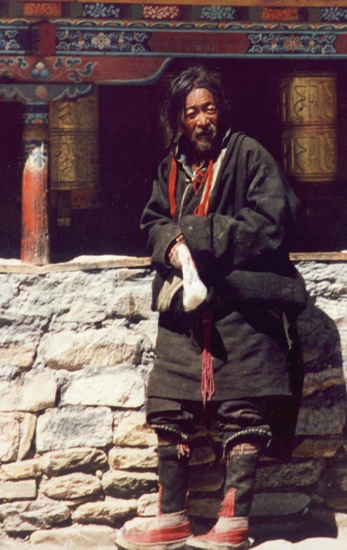 Pilgrim
doing the kora. Pilgrim
doing the kora. |
 |
 |
 |
 View
over the Lhasa valley from the roof of Drepung monastery. View
over the Lhasa valley from the roof of Drepung monastery. |
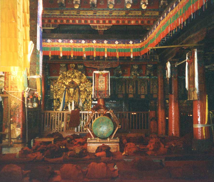 Assembly
hall, the monks have to attend re-education classes and need a
permission from the governemtn to become monks. Assembly
hall, the monks have to attend re-education classes and need a
permission from the governemtn to become monks. |
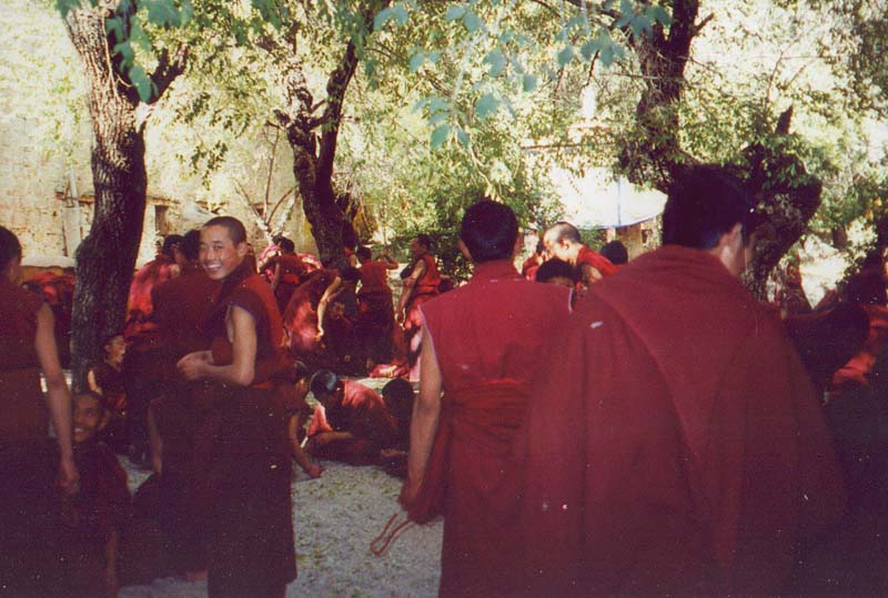 Monks
at Sera discussing religious teachings in a traditional way. Monks
at Sera discussing religious teachings in a traditional way. |
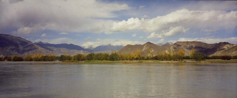 Yarlung
Tsangpo river flows all the way from Kailash (West Tibet) into
the Bay of Bengal, in India it is called Brahmaputra. Yarlung
Tsangpo river flows all the way from Kailash (West Tibet) into
the Bay of Bengal, in India it is called Brahmaputra.Most major Asian rivers spring on the Tibetan high plateau. |
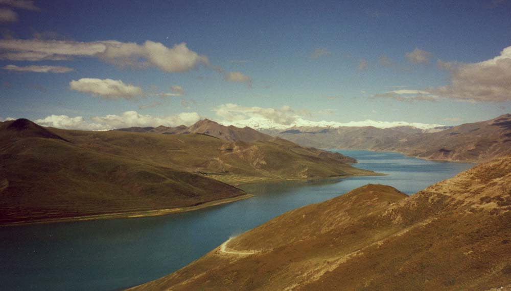 Yamdrok
Tso, a turquoise lake on the way from Lhasa to Gyantse. Yamdrok
Tso, a turquoise lake on the way from Lhasa to Gyantse. |
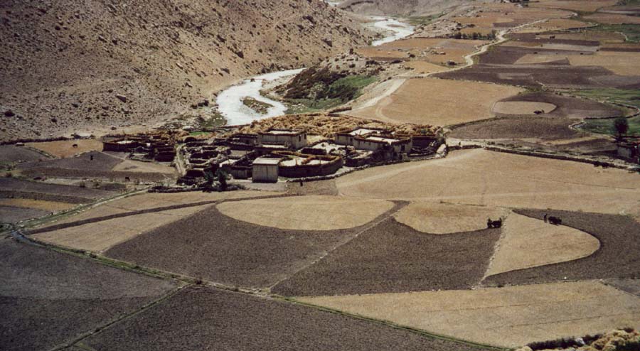
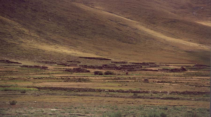 Village
near Nagartze. Village
near Nagartze. |
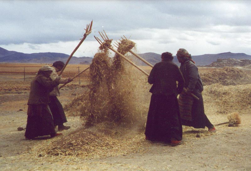 In
the countryside most people work in agriculture. In
the countryside most people work in agriculture. |
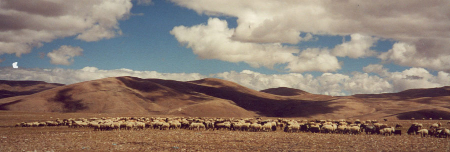
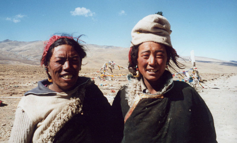 Two
Khampas watching a flock of sheep and some yaks. Two
Khampas watching a flock of sheep and some yaks. |
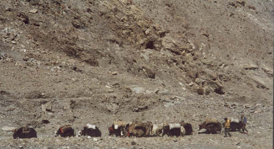 Yak
caravan on its way to one of the high passes. Yak
caravan on its way to one of the high passes. |
 Goat
at 5'000 m Goat
at 5'000 m |
 Nyalam,
village near Nepal. Nyalam,
village near Nepal. |
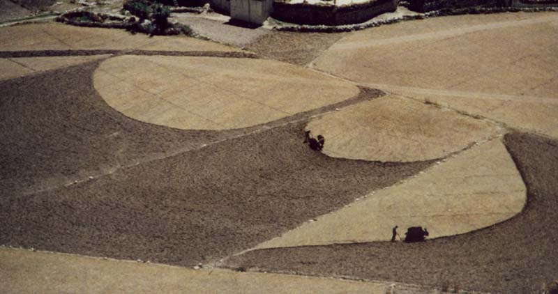 Fields
are ploughed with yaks. Fields
are ploughed with yaks. |
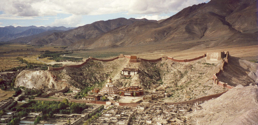 Monastic
district of Gyantse, Tibet's third-largest city. Many old
houses are still left and make it the 'most-Tibetan' looking
town in Central Tibet. Monastic
district of Gyantse, Tibet's third-largest city. Many old
houses are still left and make it the 'most-Tibetan' looking
town in Central Tibet. |
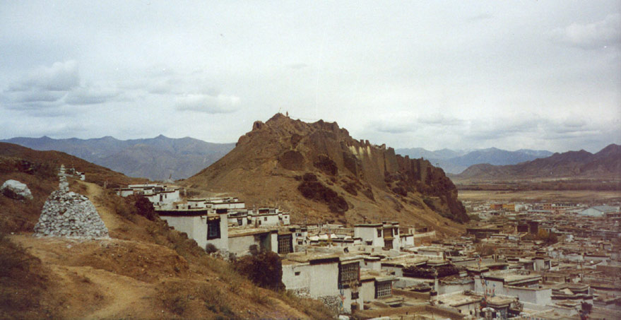
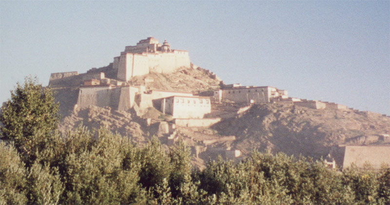 The
fort of Gyantse was partly destroyed when the British
Younghusband-expedition fought its way into Lhasa. The
fort of Gyantse was partly destroyed when the British
Younghusband-expedition fought its way into Lhasa. |
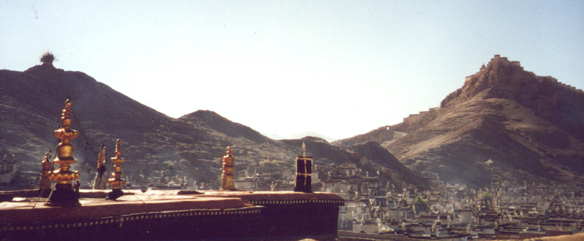 Vier
from the monastery over the old part of town, fort stands on
the hill on the right. Vier
from the monastery over the old part of town, fort stands on
the hill on the right. |
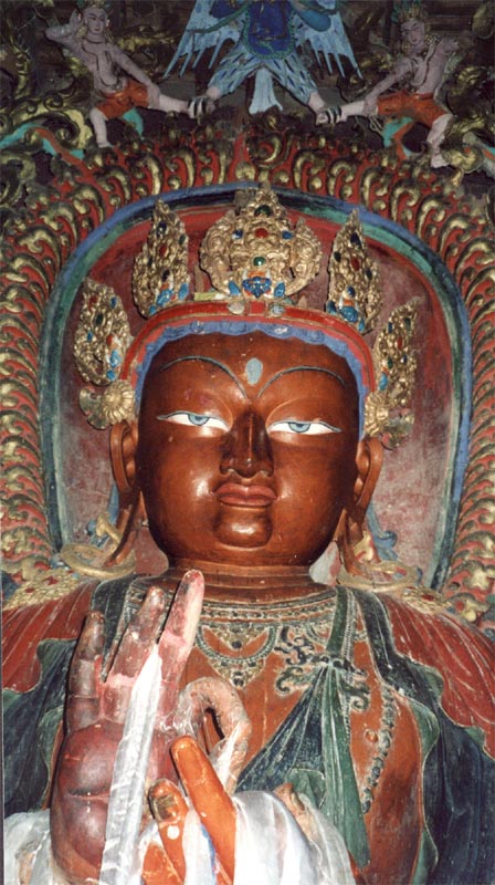
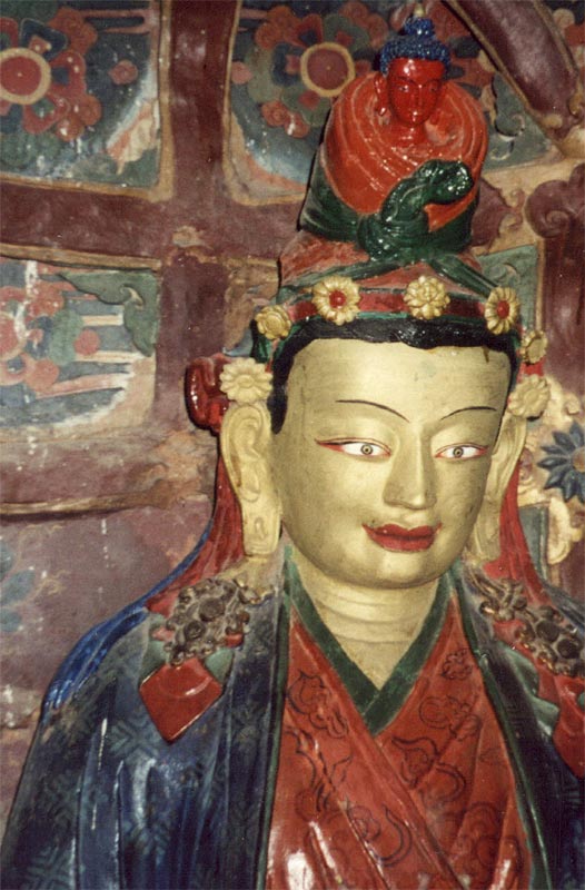
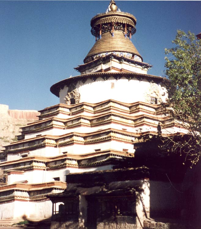 Kumbum,
an impressive stupa with hundreds of paintings and statues in
the many rooms. Kumbum,
an impressive stupa with hundreds of paintings and statues in
the many rooms. |
 |
 |
 |
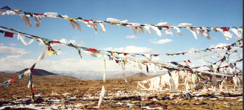 One
of the 5'000 m passes One
of the 5'000 m passes |
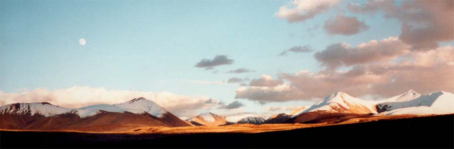 Thanks
to a broken jeep we enjoyed sunset at 5'000 m, a cold but
rewarding stop. Thanks
to a broken jeep we enjoyed sunset at 5'000 m, a cold but
rewarding stop. |
 Monk
at Sakya monastery. Monk
at Sakya monastery. |
 The
Sakya sect played an important role in earlier Tibetan
history. The
Sakya sect played an important role in earlier Tibetan
history.
|
 The
houses and monastery are built with characteristic black
stones. The
houses and monastery are built with characteristic black
stones. |
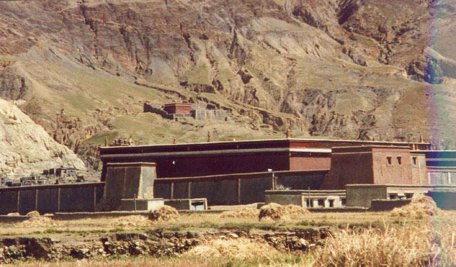
 Shigatse,
2nd largest city of Central Tibet. Shigatse,
2nd largest city of Central Tibet. |
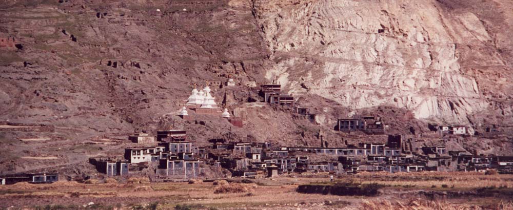
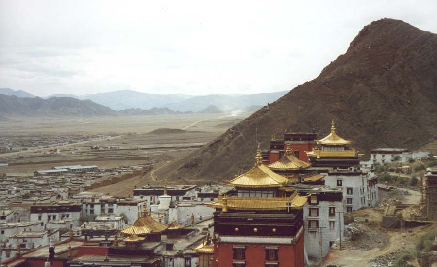 The
Tashilunpo monastery in Shigatse is seat of the Panchen Lama.
After the death of the last Panchen Lama, the reincarnation
recognized by the 14th Dalai Lama was taken into custody by
the Chinese government, four years later his whereabout are
still unknown. The
Tashilunpo monastery in Shigatse is seat of the Panchen Lama.
After the death of the last Panchen Lama, the reincarnation
recognized by the 14th Dalai Lama was taken into custody by
the Chinese government, four years later his whereabout are
still unknown.The Chinese candidate lives in Beijing. |
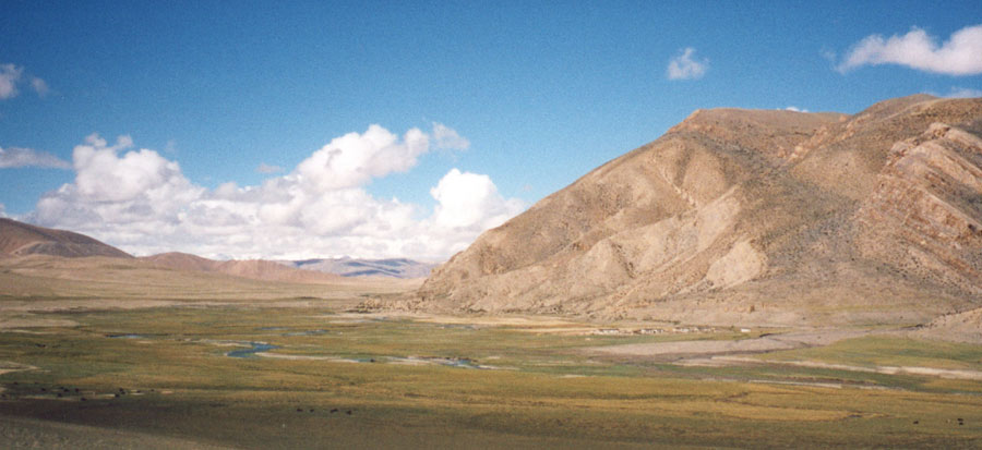
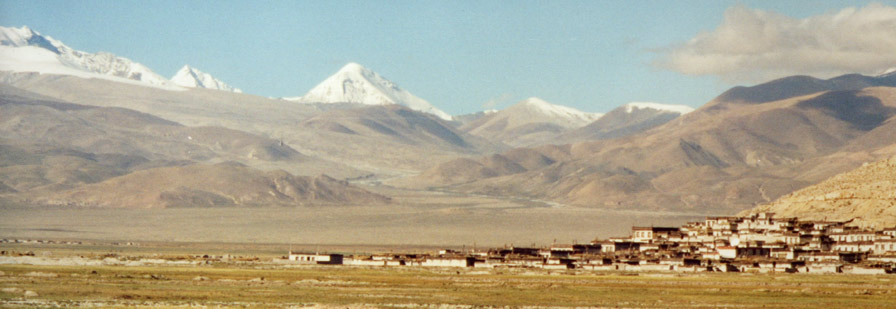 After
Shigatse the road runs parallel to the main Himalayan chain,
Tingri lies in the plain. After
Shigatse the road runs parallel to the main Himalayan chain,
Tingri lies in the plain. |
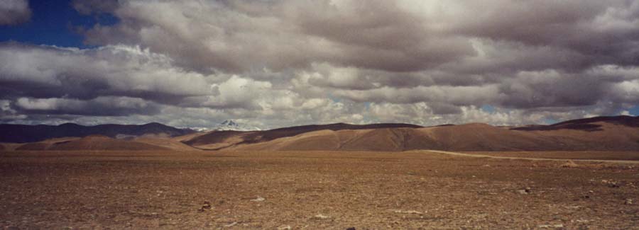
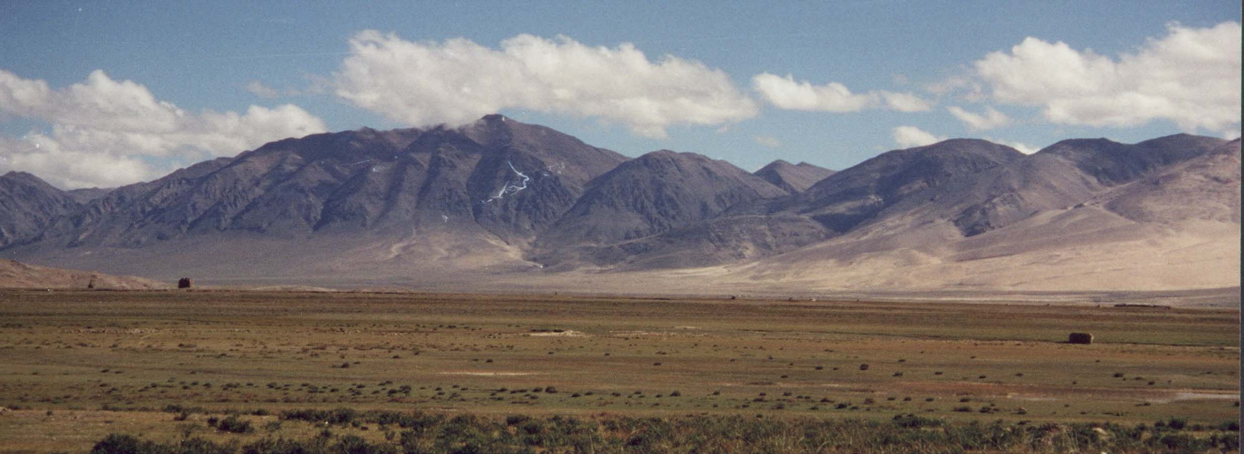 Desert-like
scenery dominates the high plateau. Desert-like
scenery dominates the high plateau. |
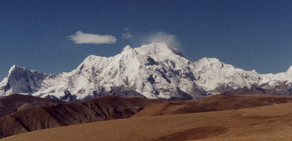
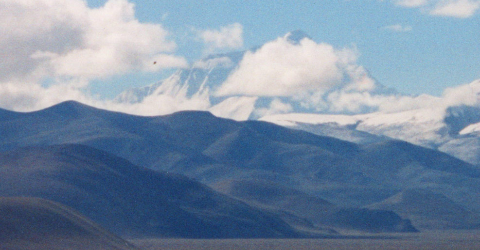 Chomolungma
(Mount Everest), highest peak. Chomolungma
(Mount Everest), highest peak. |
 Cho
Oyo, a relatively easy 8'000 meter peak that is often
attempted from the Tibetan side. Cho
Oyo, a relatively easy 8'000 meter peak that is often
attempted from the Tibetan side. |
 Subtle
play of colours before approaching the last high pass. Subtle
play of colours before approaching the last high pass. |
 Lehlung
La, wide pass before Nepal. Lehlung
La, wide pass before Nepal. |
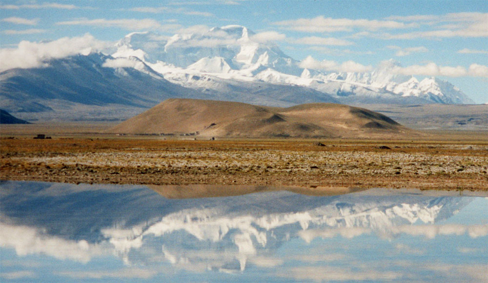
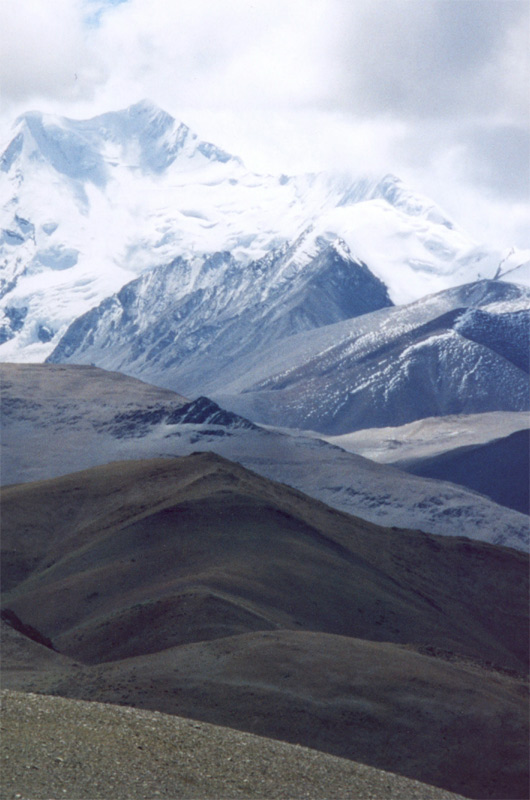
 Shishapangma,
one of the world's highest peaks Shishapangma,
one of the world's highest peaks |
 Avalanches
coming down the steep flanks Avalanches
coming down the steep flanks |