| Home | Travelogues | Pictures | Tibetan Language | Various |
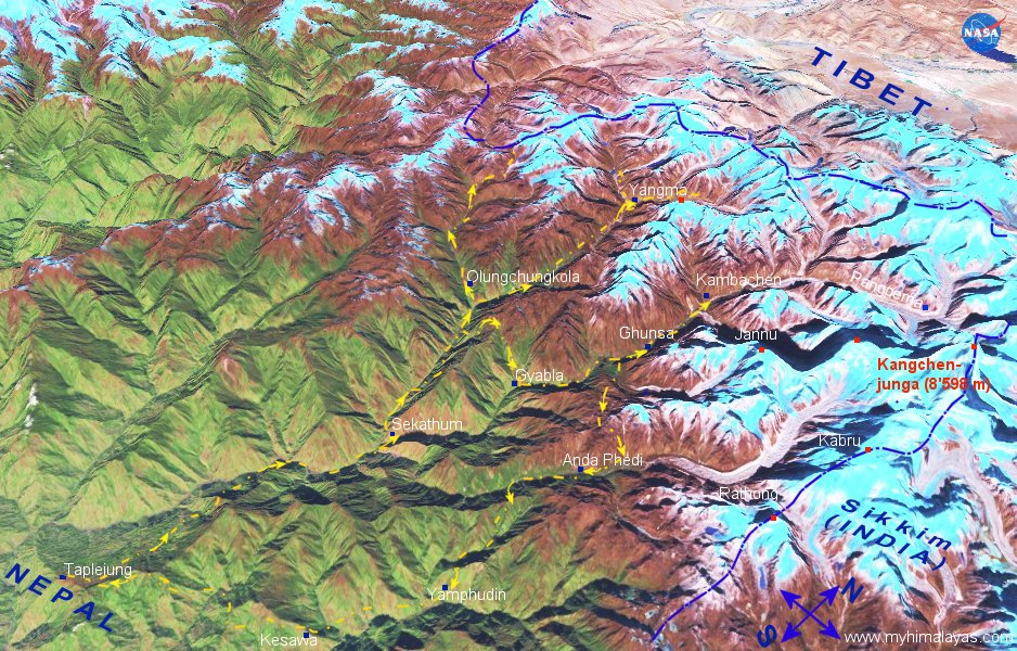
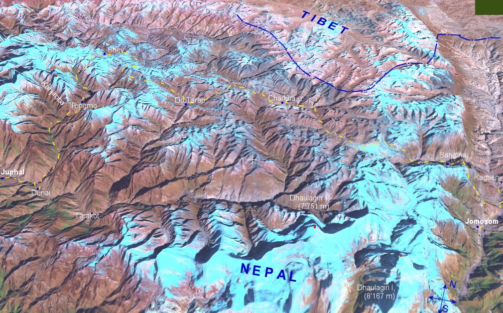
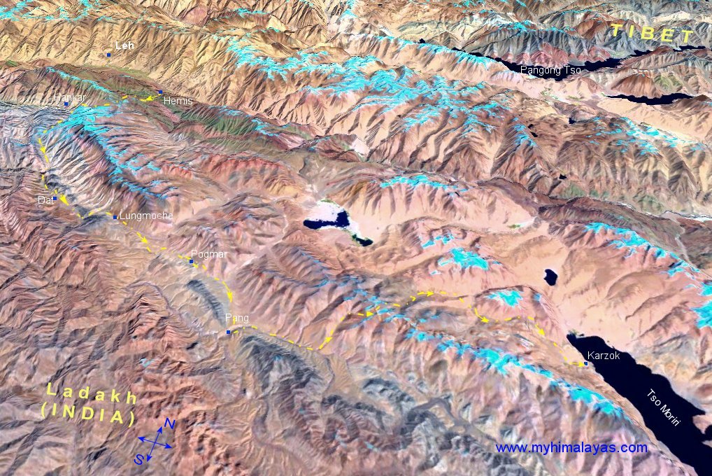
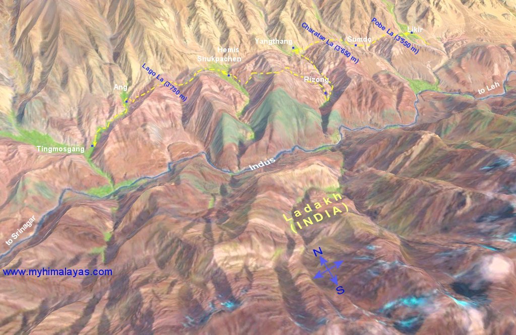
The following maps are screenshots from WorldWind, a tool from NASA. I marked the trails and routes of some of the treks I did.
| Nepal - Kangchenjunga | Nepal - Manaslu | Nepal - Mustang | Nepal - Dolpo | Ladakh - Zanskar | Ladakh - Tso Moriri | Ladakh - Likir | Tibet - Lhasa to Kathmandu | ||||
|
|
|
|
|